Pre-Dig Survey & Civils Avoidance
Inspect Before You Excavate
One of the most effective uses of duct video inspection is as a civils avoidance tool — verifying the condition and routing of existing underground infrastructure before any groundworks begin. A camera survey takes minutes; an unplanned excavation can take days and cost thousands.
In telecoms and utilities construction, civils avoidance refers to the practice of confirming the precise location, depth, condition and occupancy of existing buried assets before undertaking new groundworks. Striking an occupied duct, a power cable or a live service is one of the most costly and dangerous events on any civil engineering project — and it is largely preventable.
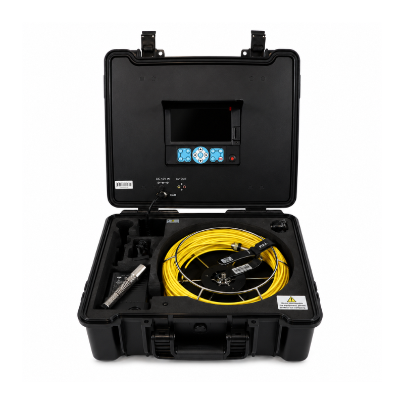
Duct video inspection cameras provide a non-destructive method of pre-dig survey: the push rod camera is inserted at an existing access point — a manhole, cabinet, chamber or building entry — and driven along the duct run, producing a continuous video record of internal condition, any existing cable occupancy, joint integrity, ingress points and obstructions. This footage becomes part of the pre-construction site record and can inform routing decisions, wayleave applications and contractor briefings.
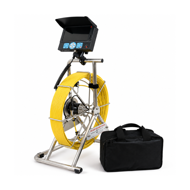
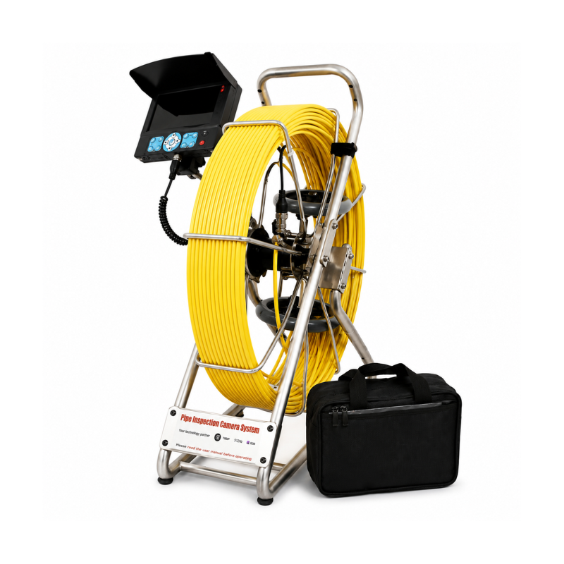
For FTTP and telecoms network build, pre-blow duct surveys using the 23mm or 38mm camera kits allow network planners to confirm that duct is clear and serviceable before scheduling cable blowing teams — avoiding wasted mobilisation and costly programme delays. For highway and utility contractors, the 120m rod kit can survey full road crossing bores from a single entry point, removing the need for trial holes and reducing carriageway disruption.
Pre-survey tip: When using a duct inspection camera as part of a civils avoidance workflow, use the built-in 512Hz sonde in the 38mm camera head alongside a compatible above-ground locator. This allows the camera position to be plotted precisely at surface level, adding an accurate as-surveyed depth and routing record to your site documentation — particularly valuable on routes where existing record drawings are incomplete or unreliable.